The morning of our second day in the high Chisos mountains my friend and I decided to summit the Highest Mountain in Big Bend. At 7825 feet high, Emory Peak is the highest point in the Chisos Mountain Range. The Chisos Mountains Range is the third highest range in Texas and is completely contained inside Big Bend National Park’s boundary.
 |
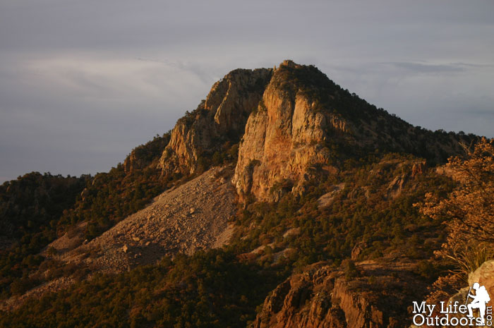
| Emory Peak from the South |
We woke up early Saturday morning and packed up camp in a hurry. We were on the Trail by 8:00 am and began heading up the 1.6 mile trail to the summit. The Emory Peak Trail used to be only 1 mile long from its junction with the Pinnacles Trail to the Summit. Recently the Park modified the trail in order to expand the climb over a greater distance. The trail now travels through the old Emory Peak campsite which has since been eliminated.
 |
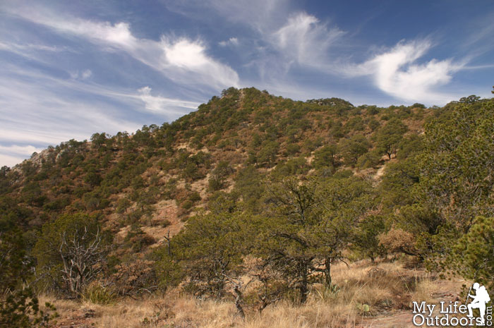
| Emory from the trail |
 |
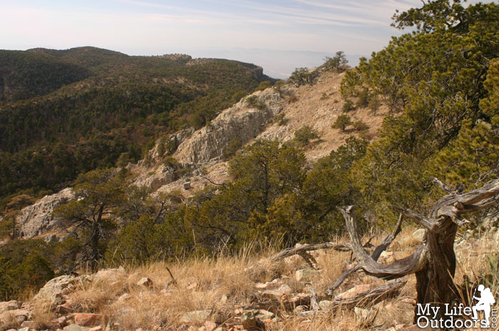
| A view of the South Rim from along the Emory Peak trail |
By 9:00 am we had reached the end of the trail, but had not yet made it to the summit. At the top two separate peaks are divided by a shallow canyon. At first we were unsure witch of the two peaks was the actual summit. We guessed that the northern peak was tallest and turned out to be right. The last 50 feet to the top is a class three scramble. Already impressed by the views so far we couldn’t wait to get up there. We climbed up to the top and sat down for a well deserved rest.
 |
| Shallow Canyon dividing two peaks near the summit of Emory |
 |
| Near the summit before the Scramble. |
 |
| Nearing the Summit |
From the top 360 degree views entice the eye in every direction. To the south we could see the South Rim, the Rio Grande river, and on into Mexico. To the East we could see Toll Mountain, Casa Grande, Lost Mine Peak, and Crown Mountain. To the west endless expanse of Chiuaune desert. And to the North the Chisos basin.
 |
| Blue Creek Canyon from Emory Peak |
 |
| Toll Mountain (foreground) Casa Grande, Lost Mine Peak, and Crown Mountain (left to right) |
 |
| Crown Mountain from Emory Peak |
 |
| The Chisos Basin from Emory Peak |
 |
| Santa Elena Canyon, viewed from Emory Peak |
 |
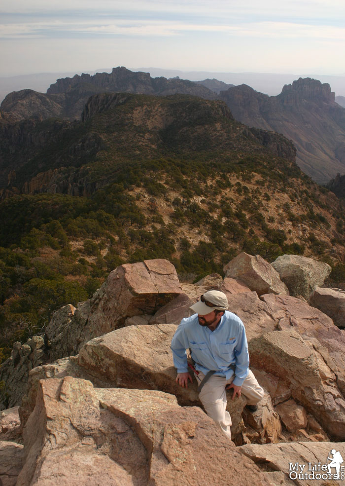
| Standing on Emory Peak Summit |
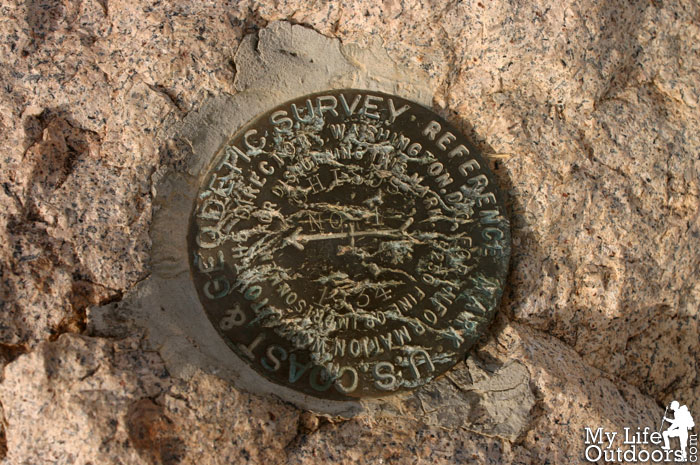
 |
| Emory Peak Summit Marker |
 |
| Summit Lizard |
 |
| The Window from Emory peak. |
Time began to fly by. Before we knew it we had already spent two hours on the summit. So far we had the summit to ourselves but knew this couldn’t last long. We still had several miles to hike before reaching our second nights camp. We took in our final views from the summit and began heading down. Shortly after beginning our decent we passed the first group coming from the basin. We wished them well, glad we didn’t have to share the small summit with them.
 |
| Emory Peak Trail via Pinnacles Trail |
 |
| The New Emory Peak Trail. The old trail is marked by a dashed line on the map. |
 |
| Emory Peak Elevation Profile |
The Hike:
Distance: 4.7 miles one way.
Starting Elevation: 5341 feet
Ending Elevation: 7825 feet
Elevation Gain: 2484 feet
Resources:
I use both the Map and Book featured below when planning my trips to Big Bend. I highly remomend them to anyone wishing to hike there. Buy them through these links and help support MyLifeOutdoors.
Getting There: Trailhead:
29°16’12.39″N 103°18’3.87″WEmory Peak Trail Junction:
29°15’6.44″N 103°17’48.11″WEmory Peak Summit:
29°14’45.83″N 103°18’19.18″WGPS File:
GPX of Emory Peak
Related Posts:
South Rim Backpack Trip
Toll Mountain Summit
Big Bend Sunset Time Lapse Video
Did you like this post? Please share it with your friends!
Tweet


T. Chris
You have completely convinced me that I need to go to Big Bend! Thanks for the awesome pictures on all three of your posts!